A tornado watch means conditions are favorable for tornadoes to form. It’s not a guarantee that one will happen, but it’s a heads-up to be alert, stay informed, and prepare for rapid action. When the sky darkens, and sirens wail, you need to act—not wonder what it all means. So, let’s break this down: a tornado watch gives you time. A tornado warning? That’s when the clock strikes zero.
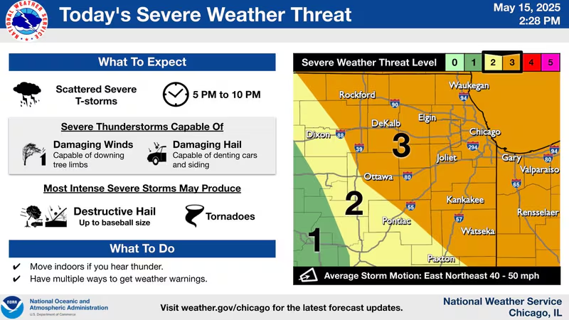
In the latest surge of violent spring storms, areas across Minnesota, Wisconsin, and the broader Midwest found themselves under a massive tornado watch from May 12 through May 15, 2025. From Minneapolis to Madison, the atmosphere was electric—literally. Homes rattled under wind gusts, and skies churned with potential.
Tornado Watch vs Tornado Warning
People often confuse a tornado watch with a tornado warning, but they are very different:
- A Tornado Watch means: Be Ready – Conditions might lead to tornadoes.
- A Tornado Warning means: Take Cover – A tornado has been spotted or indicated by radar.
Think of it like baking. The watch is when you’ve got all the ingredients out on the counter. The warning is when the cake is in the oven and rising fast.
During May 15th’s violent weather surge, alerts rapidly switched from watch to warning as cells intensified. Minneapolis, St. Paul, and western Wisconsin were among the hardest hit with tornado warnings popping up on every major weather radar.
How Weather Radar Detects Tornadoes
Modern weather radar, especially Doppler systems, track rotation in thunderstorm cells. When the radar detects a spinning storm—known as a mesocyclone—the alert process begins. Algorithms inside radar systems calculate wind shear, velocity, and direction. If rotation tightens, forecasters at the National Weather Service (NWS) issue a tornado watch or warning.
Tools like weather.com, KARE 11, and WCCO Weather provide near real-time radar visuals. These visuals can be the difference between seeing trouble coming—and being caught off guard.
What Triggers a Tornado Watch
A combination of meteorological conditions such as:
- Warm, moist air from the Gulf
- Cold fronts descending from Canada
- And instability in the mid-levels of the atmosphere
When these collide over regions like Minnesota and Wisconsin, SPC (Storm Prediction Center) forecasters raise alarms. It’s like mixing gasoline with a spark. Dangerous, fast, and hard to predict.
The Role of the National Weather Service (NWS)
The NWS is the heartbeat of emergency storm alert systems. From the Storm Prediction Center in Norman, Oklahoma, they issue broad tornado watches, while local offices—like those in Twin Cities and Milwaukee—handle targeted tornado warnings. On May 15, NWS field offices worked tirelessly with radar meteorologists, spotters, and emergency managers to alert the public of rotating storms pushing eastward.
Recent Tornado Watch Events: May 12–15, 2025
The atmosphere was charged with supercell potential from May 12 onward. But May 15 became the crown jewel of chaos. A volatile system exploded across the Central Plains, ripping its way into Minnesota, Wisconsin, and northern Iowa.
Residents across Minneapolis, St. Paul, and Madison saw hailstones the size of baseballs, with wind gusts over 70 mph. The tornado watch issued by NWS covered nearly 15 million people and was active for over 10 hours.
Tornado Watch in Wisconsin: What Happened?
In Wisconsin, communities like Madison, Janesville, and La Crosse were on edge. At least two funnel clouds were confirmed near Sun Prairie. The Milwaukee weather radar captured intense rotation west of the city by early evening.
Fortunately, no direct touchdowns occurred in downtown Milwaukee, but widespread tree damage and power outages left thousands in the dark.
Tornado Warning Minneapolis: Critical Alerts
By 6:12 PM on May 15, the Minneapolis-St. Paul metro area was under a tornado warning. Sirens blared. People huddled in basements. Traffic came to a standstill.
WCCO, KARE11, and KSTP Weather broadcast live coverage showing rotation crossing Highway 494, a chilling sight for locals who still remember past devastating twisters.
Did a Minneapolis Tornado Actually Touch Down?
So far, there are unconfirmed reports of a brief touchdown near Eden Prairie. NWS crews are surveying damage today. What’s known for sure is that radar-indicated rotation reached dangerous thresholds multiple times.
Storm Prediction Center (SPC) Outlooks
Days before the outbreak, the SPC had placed the region under an enhanced risk for severe weather. That’s the SPC’s way of whispering, “Hey, pay attention.”
Their storm outlook highlighted concerns for tornadoes, large hail, and damaging winds—all of which came true.
Impact on Minnesota Weather
The volatile air mass left a wake of cooler, dry air in its path—common after big convective outbreaks. Long term, however, forecasters predict above-average storm activity across Minnesota into June.
How Milwaukee Weather Reacted
While not the storm’s ground zero, Milwaukee weather got the tail end of rotating cells that caused hail and wind damage. Local media advised evacuations in lower-lying areas near lakes.
Tornado Warning St. Paul: Emergency Timeline
St. Paul entered warning status shortly after Minneapolis, with cell rotation moving northeast at 55 mph. Schools were already closed, and emergency sirens activated city-wide.
Emergency Management: Was Minnesota Prepared?
Absolutely. Officials in Hennepin, Ramsey, and Dakota Counties coordinated swift responses. Pre-positioned first responders and clearly communicated tornado watch mn alerts helped prevent injury or loss of life.
What to Do During a Tornado Watch
- Stay informed with KARE 11 Weather and WCCO Weather
- Download the Weather Channel app
- Charge your phone and keep your weather radio handy
- Identify your nearest safe shelter NOW
- Avoid traveling if possible
Using Weather Radar in Minneapolis
When you hear “rotation detected,” open your weather radar Minneapolis app. Tools like RadarScope or MyRadar show real-time storm paths.
Tornado Warning Near Me: Real-Time Alerts
Always enable alerts from the National Weather Service or download KSTP Weather for localized warnings. These systems saved lives during the May 15 event.
FAQs
What does a tornado watch mean exactly?
It means conditions are favorable for tornado formation, not that one is guaranteed.
How long does a tornado watch last?
Typically 4 to 8 hours depending on the weather system.
Can you have a tornado watch and warning at the same time?
Yes, watches cover larger areas; warnings are more specific and time-sensitive.
What’s the safest place to be during a tornado?
A basement or interior room without windows.
How accurate are tornado warnings today?
Thanks to radar advancements, accuracy has improved significantly in the last decade.
Do tornadoes happen at night?
Yes, and they’re especially dangerous then due to reduced visibility and slower public response.
Conclusion: Stay Alert, Stay Safe
As we navigate the peak of severe weather season, remember: a tornado watch is your advance notice. Take it seriously. Prepare early. Trust your local meteorologists. Use your radar. And never underestimate nature’s power. May 15 was a test, and thanks to preparation, we passed. But the season isn’t over yet.
Suggestions for Internal and Outbound Links
Internal: